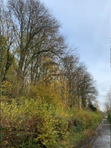
Woodland survey
By | 11 March 2021
Objectives:
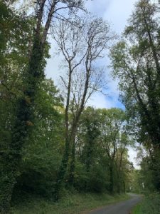
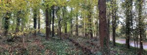
• Assess 100 hectares of woodlands and trees adjacent to roads, footpaths and houses. Gather information on the woodland habitats qualifying the phase 1 type and the quality of the habitats.
• Produce maps for use in GIS systems representing a breakdown of the woodland into compartments.
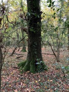
• Identify and record ecological features, such as bat potential roosts, historical features such as wood banks, plus notable, veteran and ancient trees to be included in the future management plan.
• Record the location of Ash trees adjacent to footpaths and roads with details of whether affected by disease.
• Quantify the risk to the public and prioritise tree works using visual tree inspections, Quantified tree risk assessment (QTRA) and provide GIS data to be used in the commissioning of the tree works.
Outcome:
First Ecology reported on all 100 hectares of woodland requested and provided coded polygons, which included the phase 1 category. Additional surveys to cover the remaining 48 hectares of woodland were then commissioned. This was delivered in time and on budget for the client.
Client: Bristol Water
Site: Woodland sites across Bristol, Gloucestershire, North Somerset and Mendip
Services: Woodland Phase 1 survey and risk assessment
